What did the Corps of Discovery learn—and who helped them along the way?
Introduction
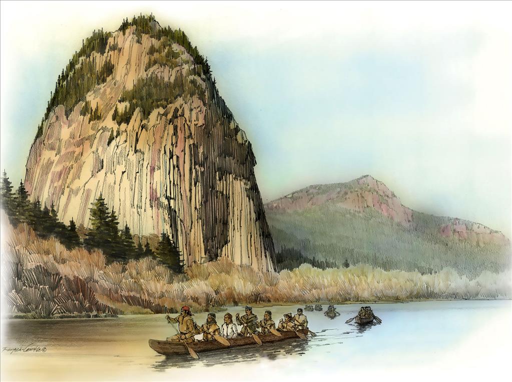
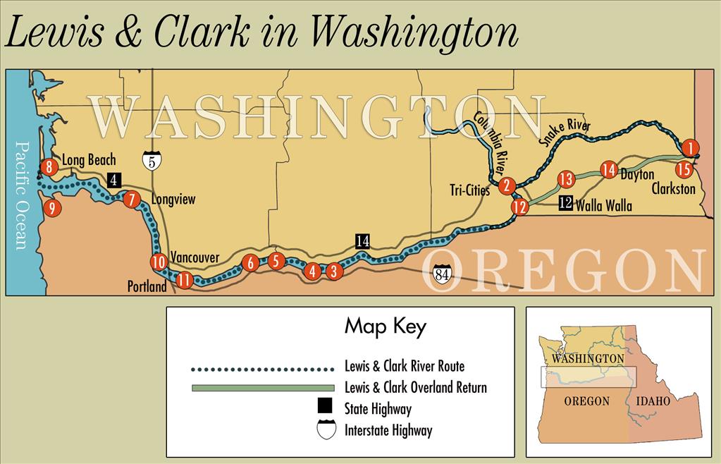
In 1804, Meriwether Lewis and William Clark set out on a journey to explore the vast western lands the United States had just acquired. Their team, called the Corps of Discovery, traveled over mountains, rivers, and plains, hoping to map the land, find a water route to the Pacific, and learn about the people and animals who lived there. In this inquiry, students follow the Corps into what is now Washington State, asking what they discovered and who made the journey possible. Students explore geography, survival challenges, and the important role of Native Nations—especially the Nez Perce and others—in guiding and supporting the expedition.
Images
HistoryLink Articles
- Lewis and Clark in Washington
- Lewis and Clark Expedition in Washington (1805-1806): A Tour
- The United States signs the Louisiana Purchase Treaty and buys Louisiana Territory from France on May 2, 1803.
- Lewis and Clark Expedition enters future state of Washington on October 10, 1805.
- Lewis and Clark reach the confluence of the Snake and Columbia rivers on October 16, 1805.
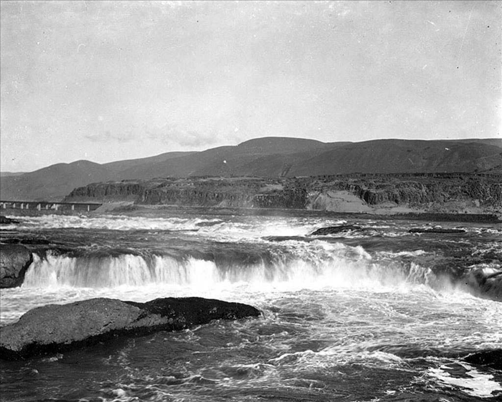
- Lewis and Clark begin descending the rapids of the Columbia River at Celilo Falls on October 22, 1805.
- Lewis and Clark camp near Salmon Creek in Clark County on November 4, 1805.
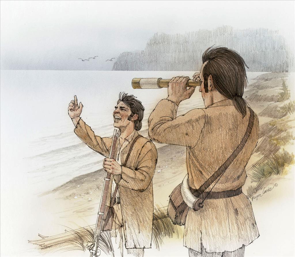
- Lewis and Clark Expedition reaches the Pacific Ocean on November 15, 1805.
- Lewis and Clark prematurely celebrate their arrival at the Pacific Ocean on November 7, 1805.
- Captain William Clark of the Lewis and Clark Expedition visits the future site of Long Beach on November 19, 1805.
- In first election by Americans in the West, the Corps of Discovery votes to winter on the south side of the Columbia River on November 24, 1805.
- Homeward bound, the Lewis and Clark Expedition leaves future state of Washington on May 5, 1806.
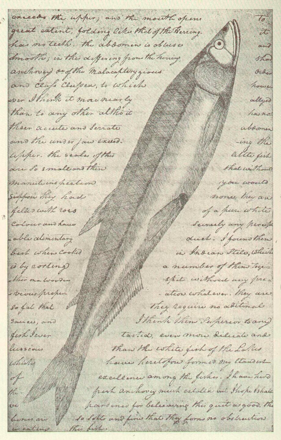
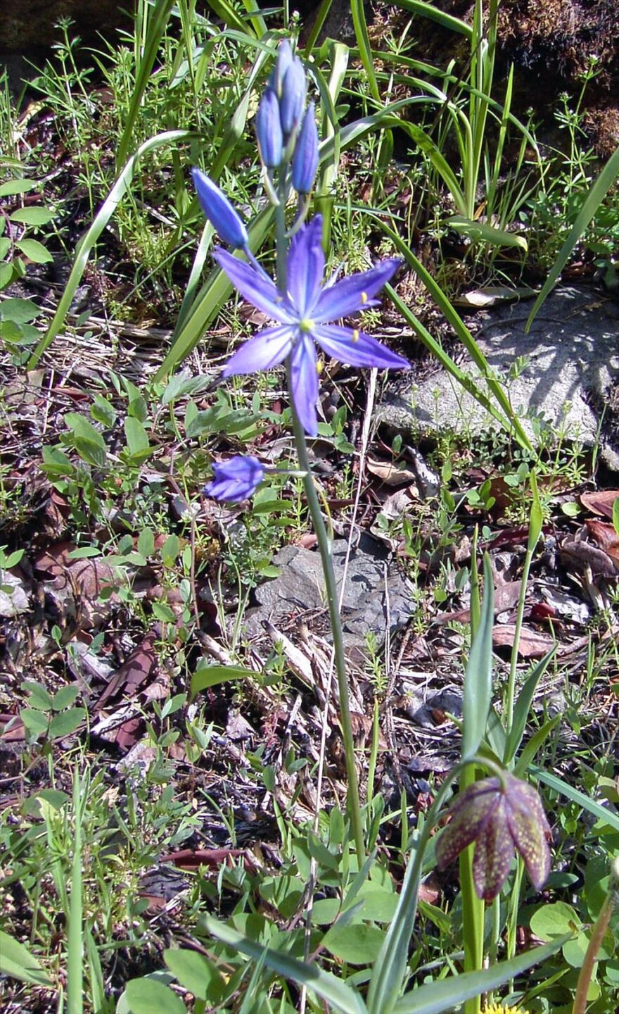
- Coast Salish Camas Cultivation
- Cayuse Indians
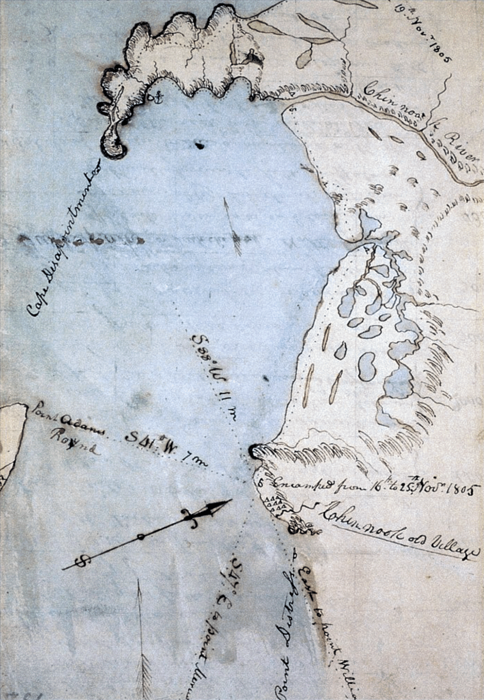
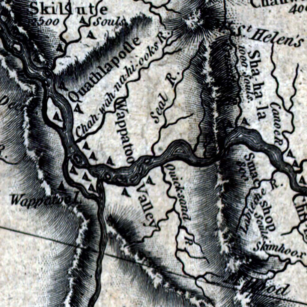
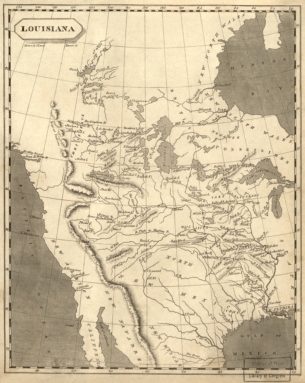
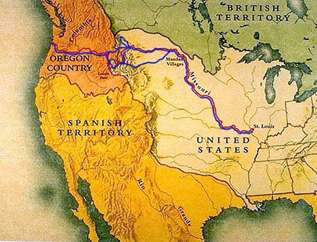
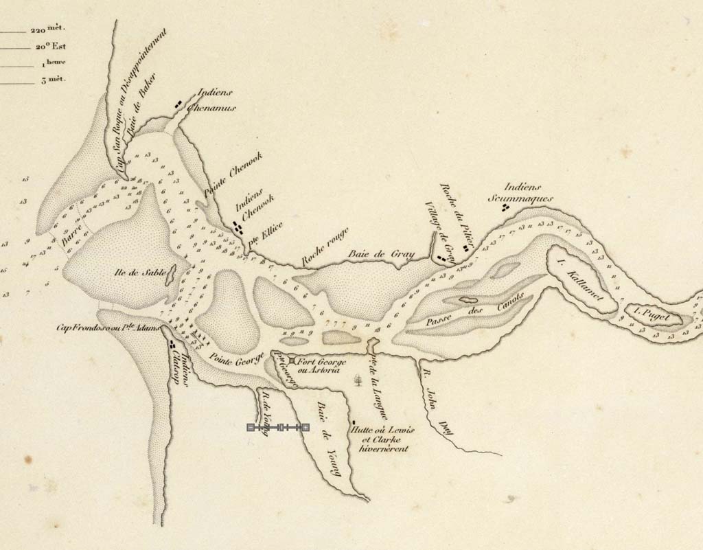
Maps
Brought to you by HistoryLink
Text Tools
Hover over text blocks (like this one!) to reveal copy option. Just click to copy formatted text and paste in your document.
Media Tools
Look for these icons:
Copy images and their captions with a click and paste into your document.
Downloads include images and a text file with filenames & captions for easy reference.
Tools may be disabled. Click the pencil icon to toggle on or off.