How did the Ice Age floods shape the land we live on today?
Introduction
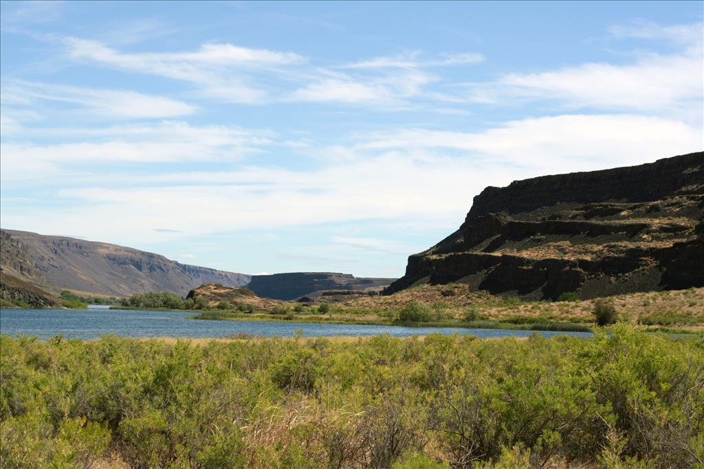
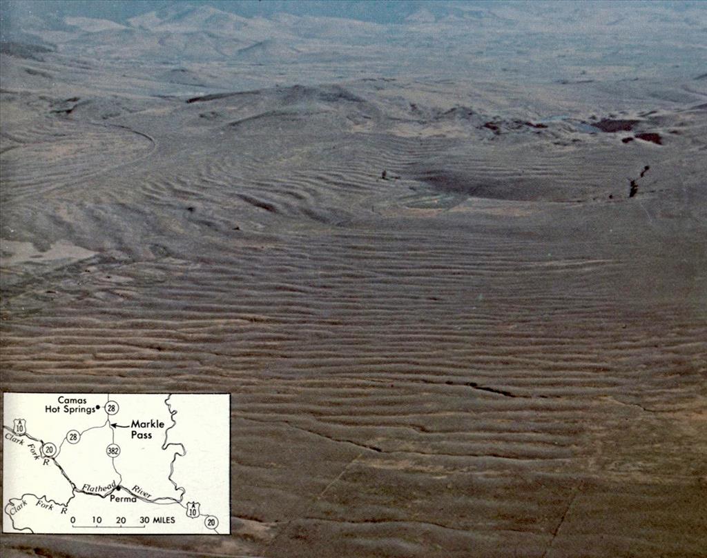
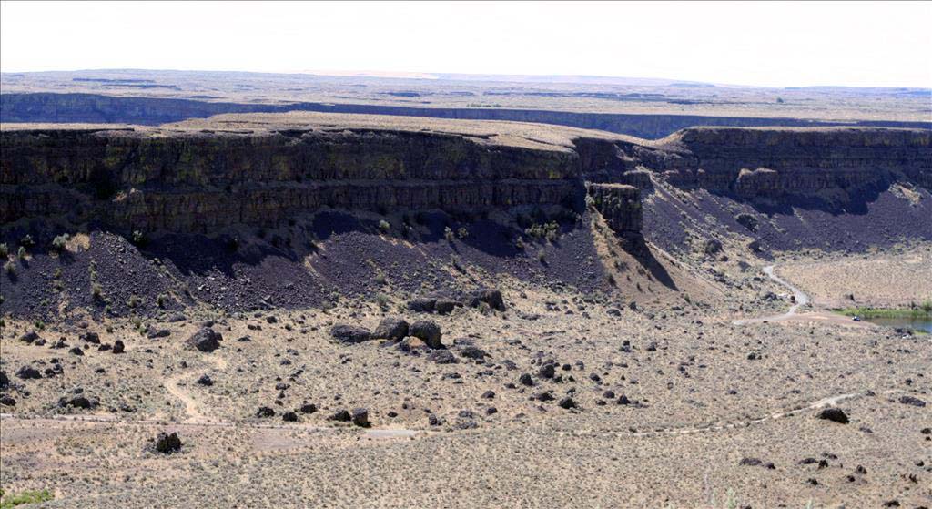
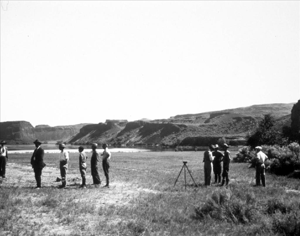
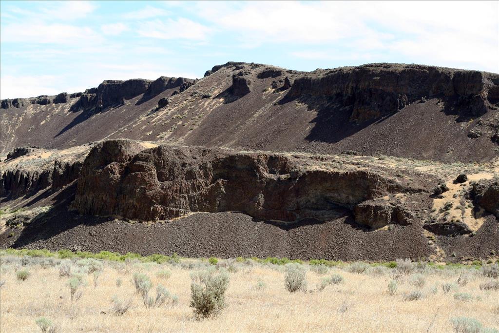
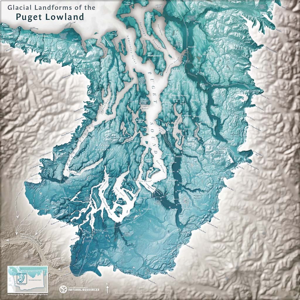
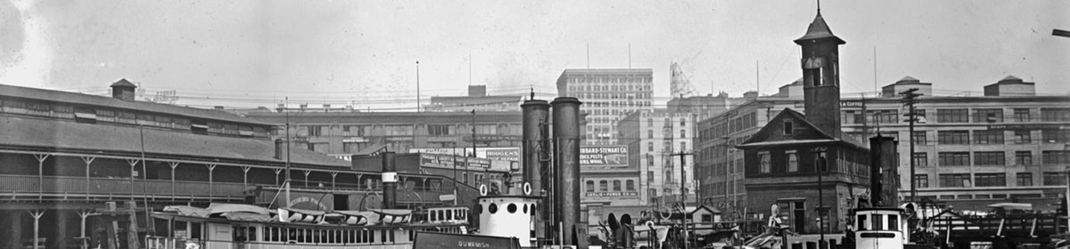
Long before highways, cities, and farmland, powerful natural forces shaped the land we now call Washington. In this inquiry, students explore the dramatic Ice Age floods that swept across the Pacific Northwest thousands of years ago, and were some of the largest floods in Earth’s history. Using maps, images, and scientific explanations, students investigate how the floods carved out canyons, left behind giant rocks, and created the unique landscape of eastern Washington. This inquiry encourages students to see the land as a storyteller and to make connections between ancient events and the landforms they see today in their own communities.
Images
Maps
Brought to you by HistoryLink
Text Tools
Hover over text blocks (like this one!) to reveal copy option. Just click to copy formatted text and paste in your document.
Media Tools
Look for these icons:
Copy images and their captions with a click and paste into your document.
Downloads include images and a text file with filenames & captions for easy reference.
Tools may be disabled. Click the pencil icon to toggle on or off.